Next: All rainfall data
Up: Fomel: Chernobyl rainfall data
Previous: Fomel: Chernobyl rainfall data
Raw Data /book/fun/chernobyl/elevation.HH
Geometry
/data/fun/chernobyl/elevation.HH:
        in="stdin"
        expands to in="stdin"
        esize=4
        n1=376  n2=253  n3=1    n4=1                  95128 elem             380512 bytes
        d1=1.00997      d2=1.00997      d3=1    d4=1
        o1=-185.556     o2=-127.262     o3=0    o4=0
        label1=W-E (km)
        label2=N-S (km)
History of Data Provided by USGS: http://edcwww.cr.usgs.gov/
elev
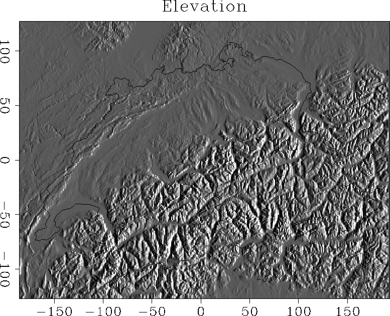
Figure 1 Digital Elevation Model of Switzerland and
the country borders. The country borders are extracted from the
Digital Chart of the World (DCW) provided by ESRI.


Next: All rainfall data
Up: Fomel: Chernobyl rainfall data
Previous: Fomel: Chernobyl rainfall data
Stanford Exploration Project
1/16/2002