|
Extra...
For a TopoZone map of this viewpoint, click here. |
|
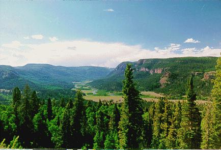
| Another photo, albeit from a higher vantage point, of the Conejos River. Here the river valley is of the classic U-shaped, glaciated type. This is the view from Colorado Highway 17, which runs from near Antonito, Colorado to Chama, New Mexico. |